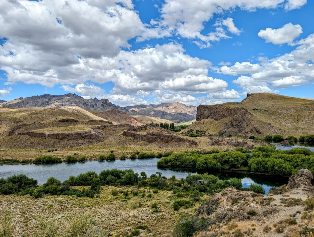
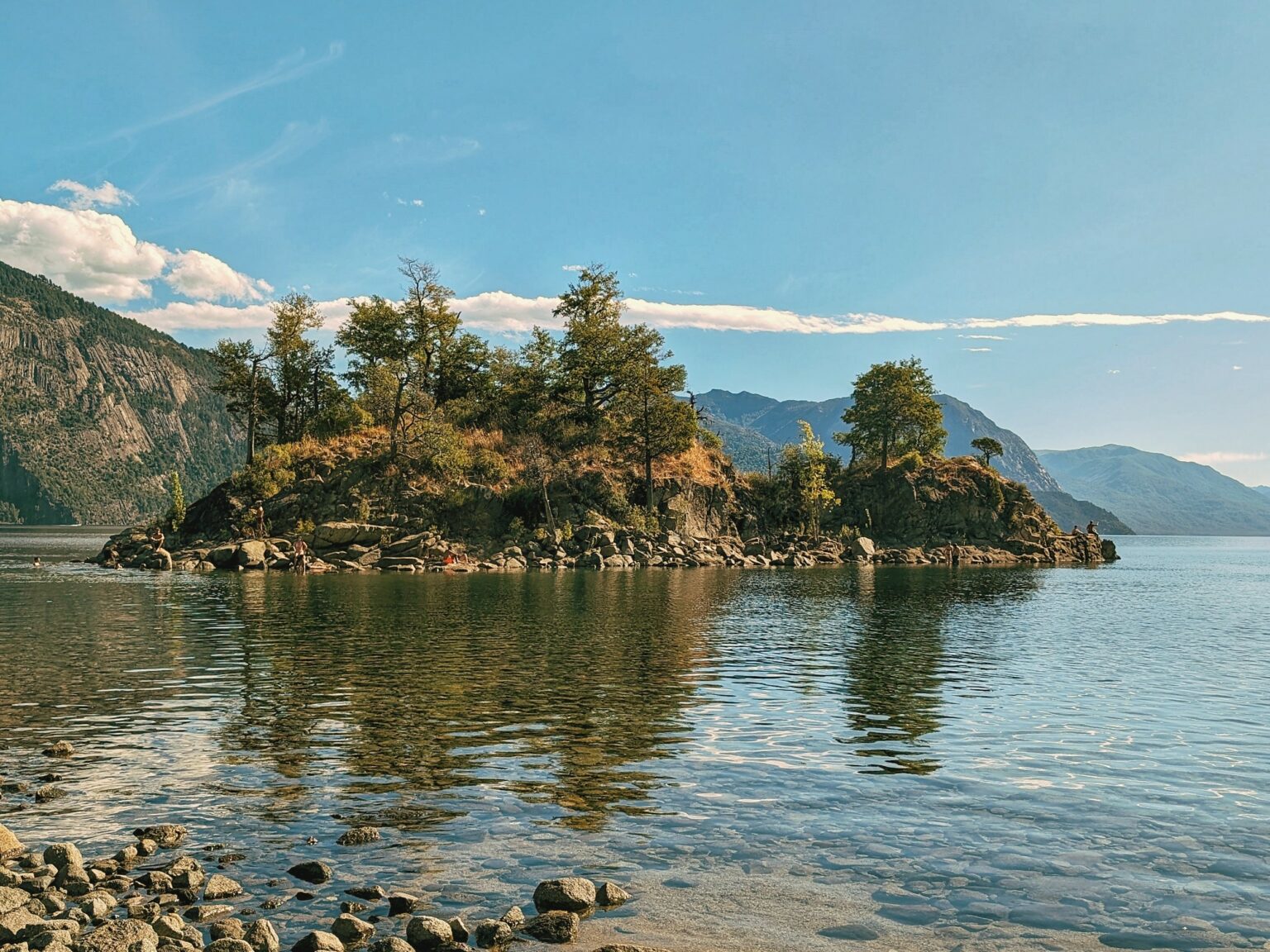
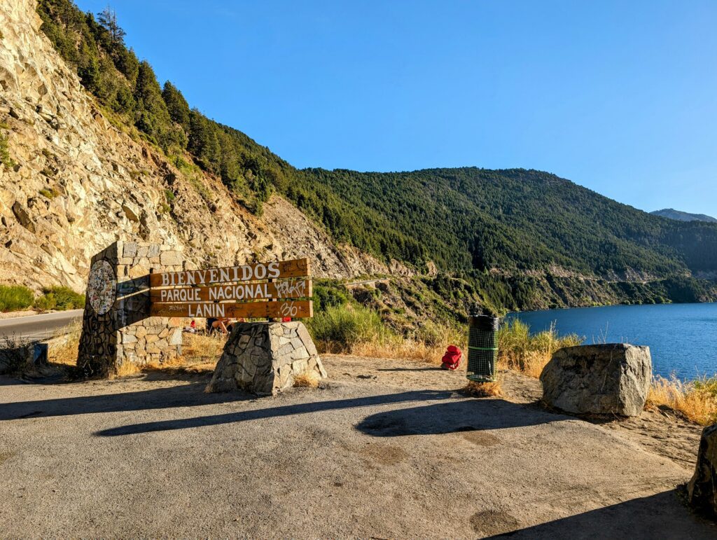
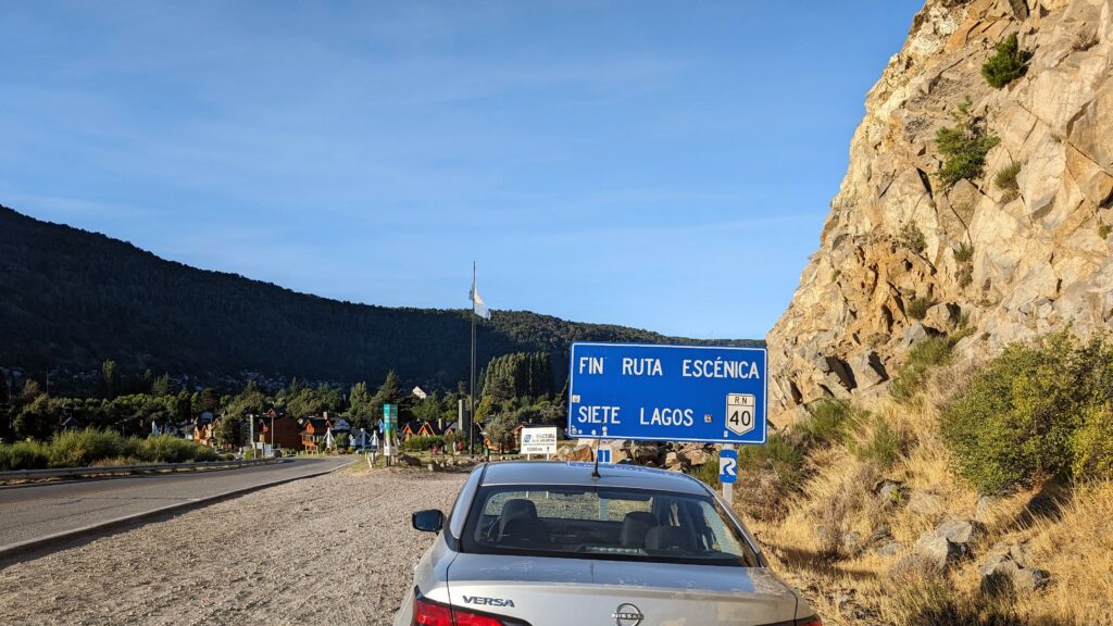
The Route of the Seven Lakes is a picturesque road between San Martín de los Andes and Villa La Angostura just north of Bariloche. It is famous for its beautiful views of lakes and mountains.
There are a few options for doing this route. If you do not want to rent a car, you can reserve a day-trip tour group to drive the route. If you do have a car, you can drive the route yourself and stop at the viewpoints of the 7 lakes and other features at your own leisure. The route takes about 2 hours to drive so the round trip could be done in one day.
Lastly, you could stay overnight in San Martin de los Andes and take your time on the drive between Bariloche and San Martin. From San Martin, there are other areas to explore and activities to do, including seeing/hiking volcanoes, kayaking, fly fishing, and more.
Renting a car in Bariloche
You can always rent a car from the Bariloche airport if you are flying in. There are also some places within the town to rent cars as well. In addition to the international brands (Hertz, Alamo), you can find local or South American-based companies that are often more affordable. We used Localiza, a Brazilian company, for our rental for the weekend. They had great service and automatic vehicles available for our needs!
Stop by Stop Details With Tips
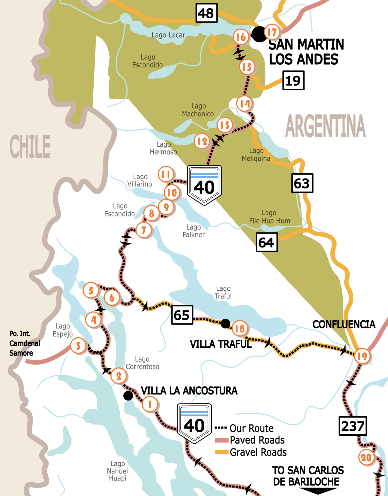
Below are the details of each stop along the route. We stopped at each of them and some were harder to find than others. We use Google Maps to find directions for each stop. (Download the area in advance because you may lose reception.) We have included some helpful tips to make finding the stop as seamless as possible, especially when Google Maps was not totally accurate or may have led us astray. We have also noted any times you may need to drive on a gravel/dirt road to get to the stop.
1
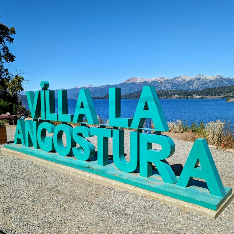
Villa La angostura with a few viewpoints
After leaving Bariloche, we made our first stop at a viewpoint of the lake we had just left, Lake Nahuel Huapi. This viewpoint is called “Villa Angostura en letras” on Google Maps and is appropriately named for the town letters that it displays in front of a view of the lake.
Villa La Angostura is a small resort town and the start of the Route of the Seven Lakes. It’s a great place to go shopping for some beautiful Argentine-produced goods and clothing. We stopped here for some breakfast at a local cafe before kicking off our drive.
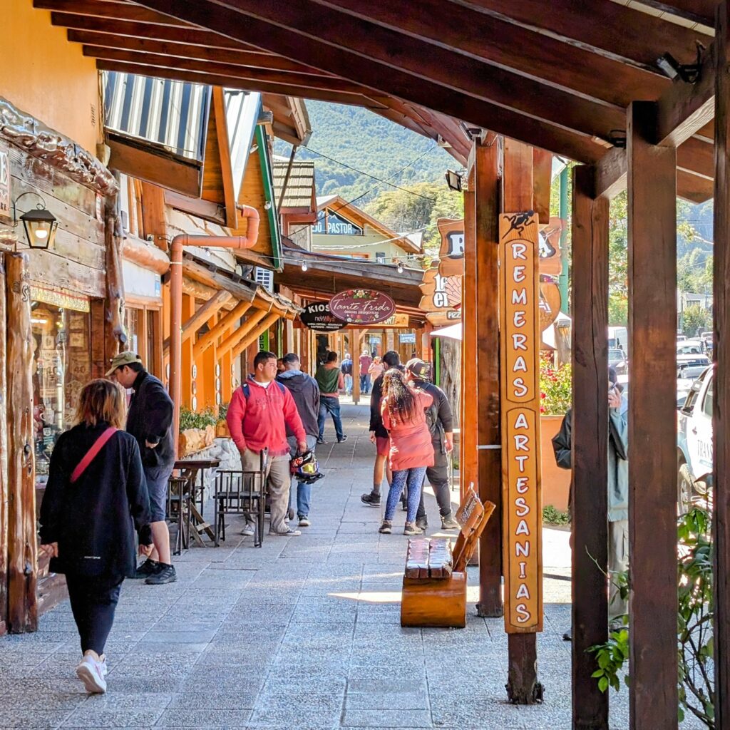
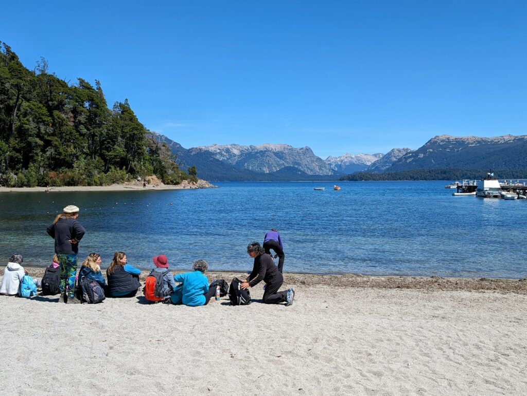
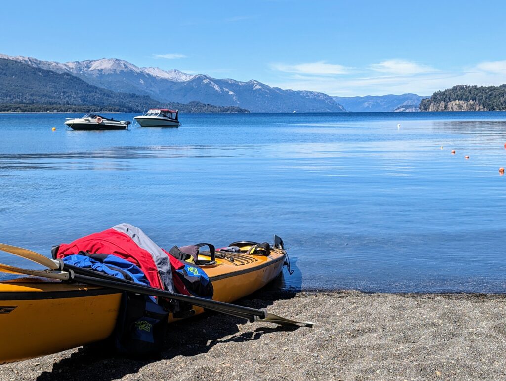
Before leaving, we went to the Puerto Angostura docks. It is located on a narrow peninsula and as a result, has a dock and beach on either side of the peninsula. There are two lovely and peaceful beaches here to relax at, one with white sand and one with black sand. This is also the start of the Parque Nacional Los Arrayanes and you can walk from here to the arrayanes (myrtle tree) forest on a long hike. (We had already explored this forest and the Isla Victoria through a boat trip from Bariloche. You can read more about that, along with other things to do in Bariloche, here.)
2
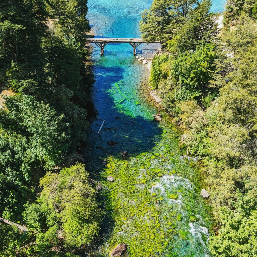
rio correntoso
One of the shortest rivers in the world, this river is between 200 and 300 meters long and boasts incredibly vivid colors of the vegetation and minerals below its crystal clear surface. The river flows between Lago Correntoso and Lago Nahuel Huapi. I could not get enough of photographing the colors and water flow.
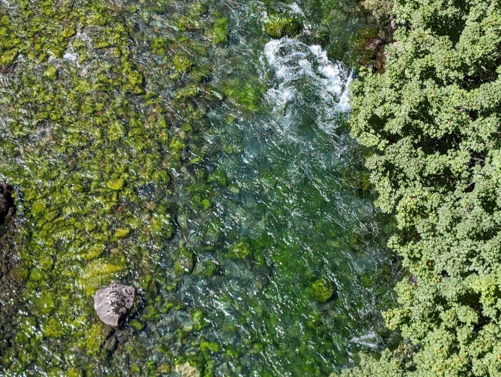
Tip for this stop: when you are driving from the south to the north (from Bariloche to San Martin) the pull out is on the left side before the bridge
3
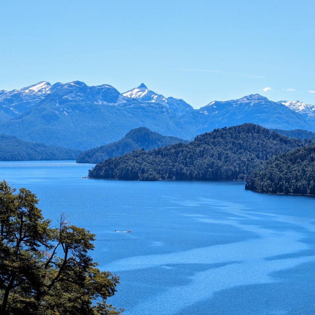
Mirador lago Espejo #1 (Not on the Official Route)
Lago Espejo is the first lake of the Route of the Seven Lakes. There are two viewpoints that you can see to take in this lake, known for it’s reflection of the landscape on it’s water. The first one if just off the official route. While this is not officially on the Route of the Seven Lakes, it was one of our favorites, due to it’s incredible vista of the beach below and the clear waters.
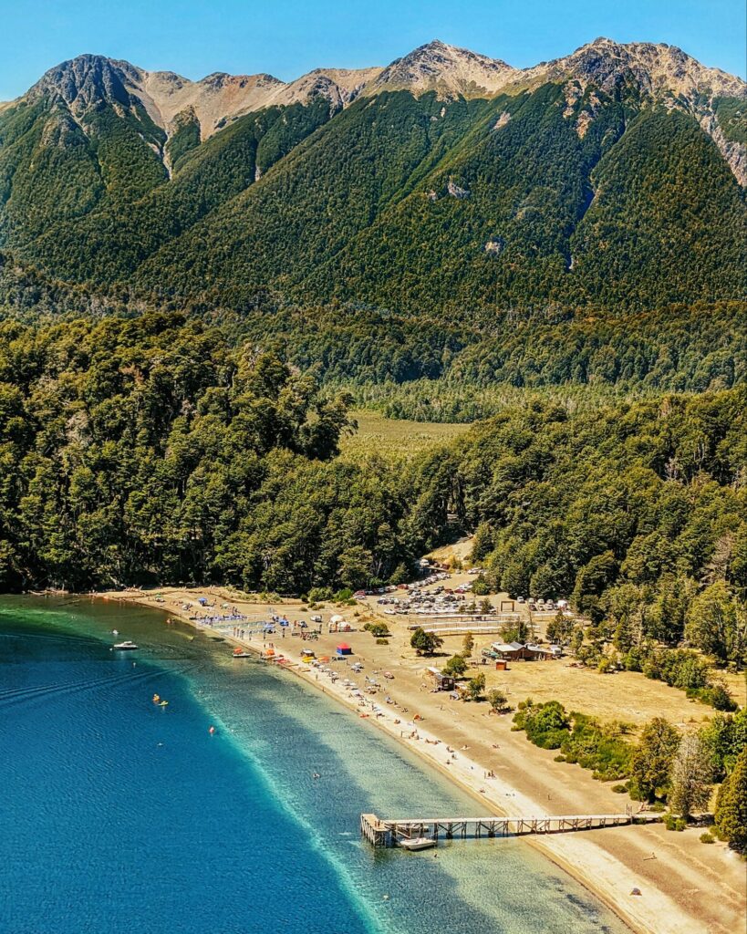
Tip for this stop: the pull off for this viewpoint is on the right side of the road, just before where Google Maps puts the viewpoint. To return to the official route (Route 40), use the pull out to make a u-turn as it will be more challenging if you continue on this road.
4
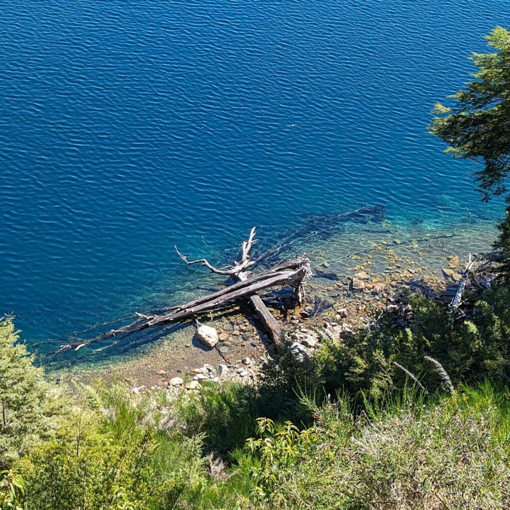
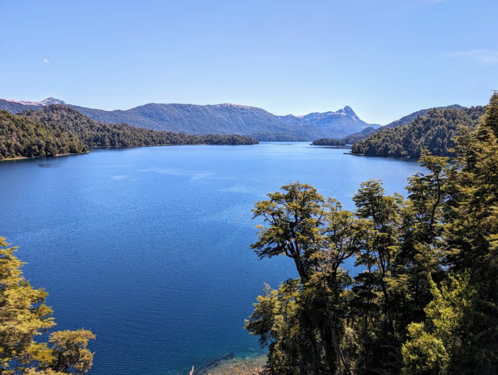
Mirador lago Espejo #2 - Lake 1
The second viewpoint for Mirador Lago Espejo, and the official one on the route is a panoramic vista over the lake. When the weather is calm and there is little wind, the lake reflects the surrounding landscape, sky, and clouds. We unfortunately did not have this calm weather but we still were able to enjoy the view and surroundings
5
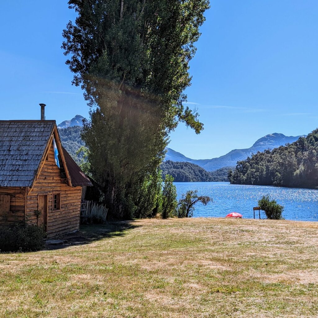
Lago Espejo Chico (Not on the official route)
“Chico” in Spanish means “little”, so this lake is a smaller version of Lago Espejo. This lake is not officially on the Route of the Seven Lakes and not counted as one of the lakes but it has a nice beach and camping area if you want to stop somewhere in the area.
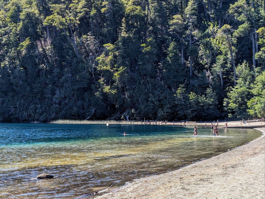
Tip for this stop: You will have to drive down a dirt/gravel road to get to this stop.
6
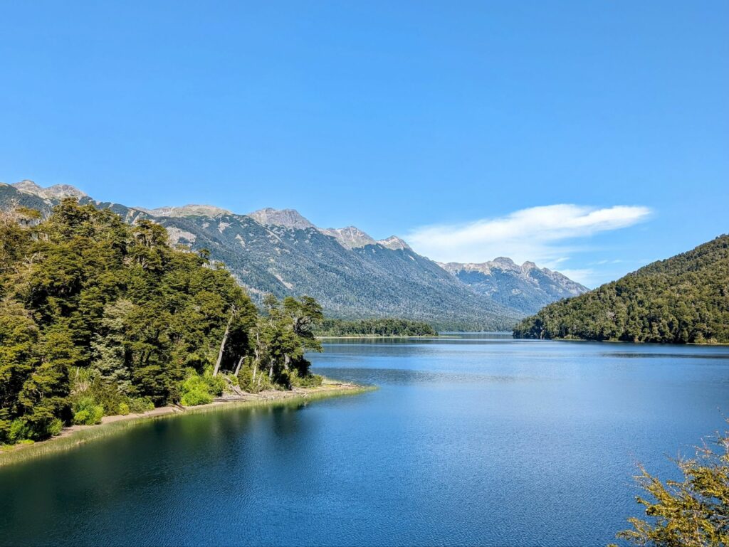
Mirador Lago Correntoso - Lake 2
There are two separate viewpoints for Lago Correntoso and we opted for the second one. It had incredible views of the mountains in the region surrounding this large lake.
7
Lago Traful - from Camping Pichi Traful (NOT ON THE OFFICIAL ROUTE)
Down a gravel/dirt path is a popular camping destination called Camping Pichi Traful with a great view of the Lake Traful. It has a long depth of shallow water, making it the perfect place to wade and play in the water.
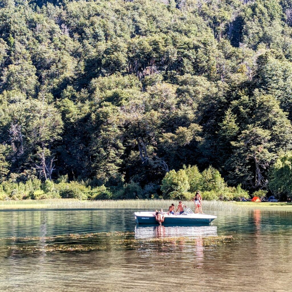
Tip for this stop: You will have to drive down a dirt/gravel road to get to this stop. You can park outside of the camp grounds and do not have to pay to spend time at the beach without camping.
8
Mirador Lago Escondido - lake 3
While the viewpoint for the Lago Escondido may be easy to find, it may be a challenge to find the lake itself between the trees. It is the one lake on the route that is completely obscured by the forest of this Patagonia region. It is aptly named because “escondido” means hidden in Spanish.
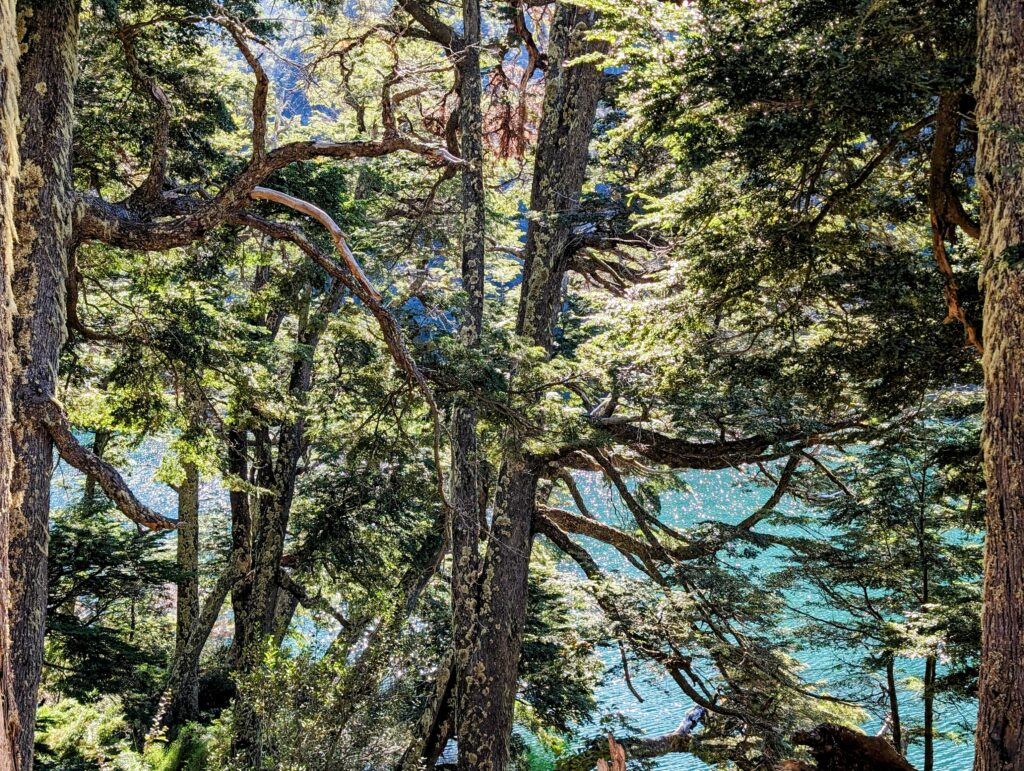
Tip for this stop: When coming from the south (Bariloche), the pull off for this viewpoint is on the left-side of the road, before the marker on Google Maps for the viewpoint.
9
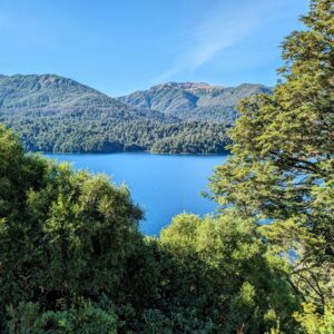
Mirador Lago Villarino - lake 4
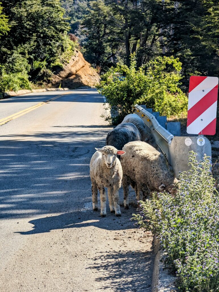
The viewpoint of Lago Villarino overlooks the lake with beautiful mountains in the background. We were stopped my some rogue sheep wandering through the road and eating some lavender plants at this stop, a nice reminder to drive carefully on these roads.
10
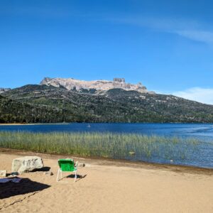
Mirador Lago falkner - lake 5
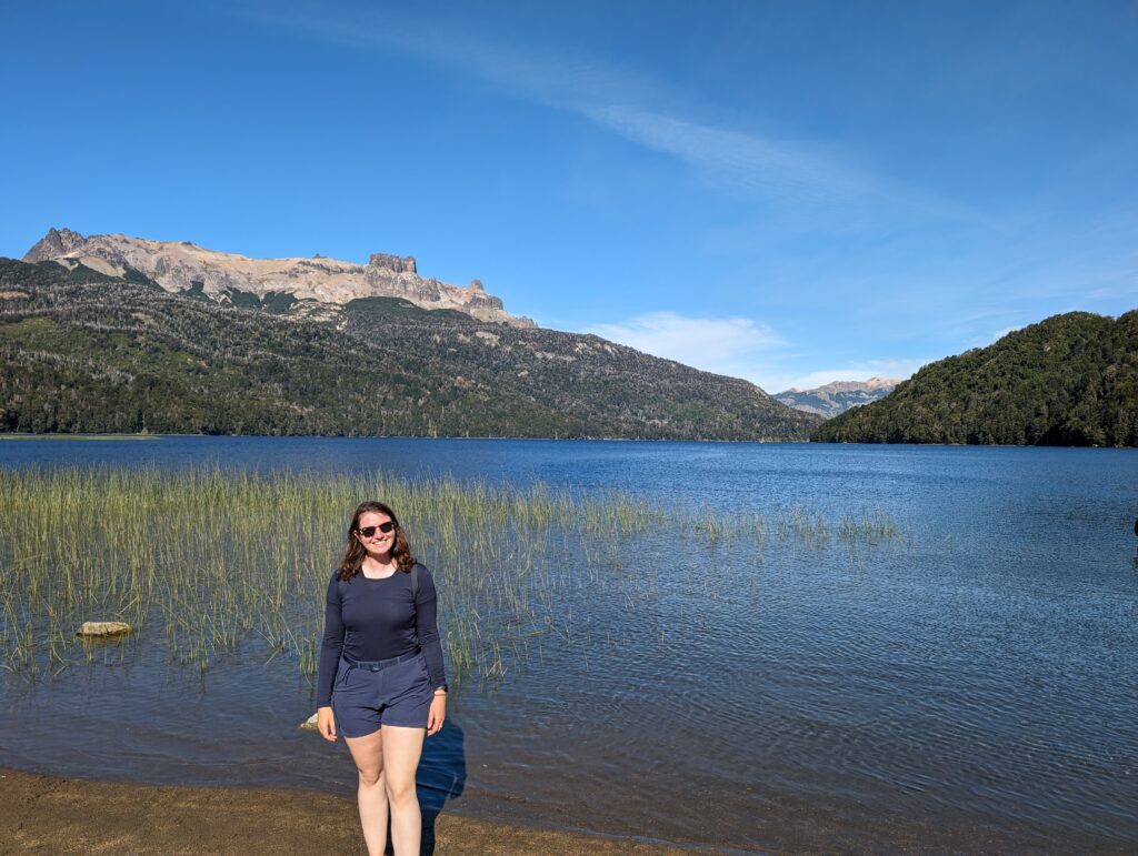
After all that driving, it was time to dip our toes in the water again at the viewpoint and beach of Lago Falkner. This sandy beach is a great place to sit back and take in the Patagonian landscape.
11
Mirador Cascada Vulignanco
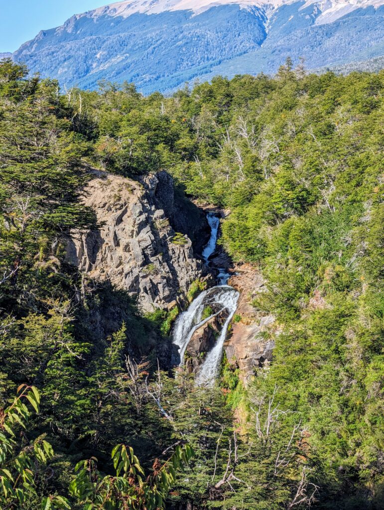
Tip for this stop: The pull-off will be on the left side of the road if you are driving from the south (Bariloche). The waterfall is visible from the area towards the right side of the viewpoint. If you cannot see it, stand on the wide barrier of the viewpoint to better see it.
12
Lago Hermoso (NOT ON THE OFFICIAL ROUTE)
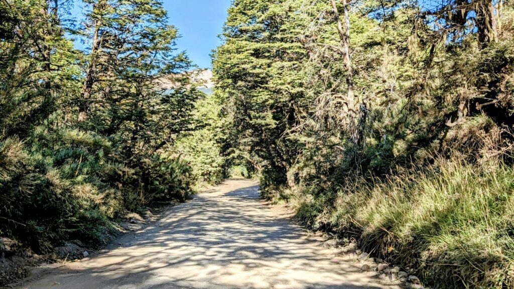
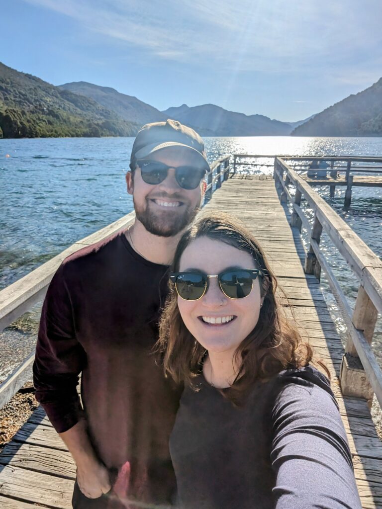
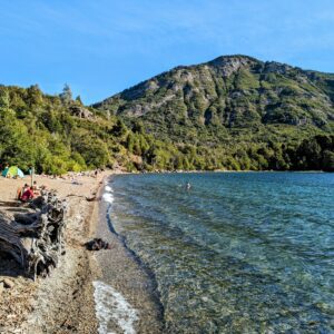
Tip for this stop: The lake is at the end of a dirt/gravel road, just off of Route 40. Our Google Maps led us to a private road and we want to clarify the correct route for you. The available road is right after the restaurant, El Viejo Almacen (coming from Bariloche), and NOT further down the road at the Lago Hermoso Ski Resort.
13
Mirador Lago Machonico - lake 6
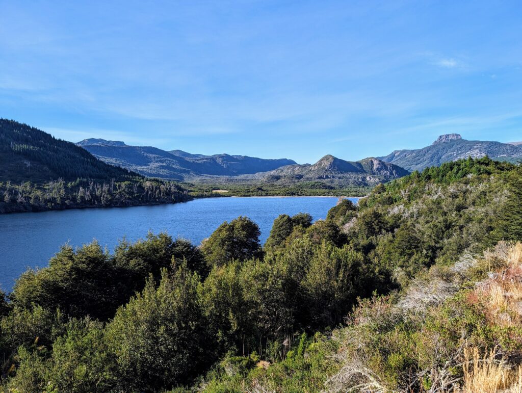
14
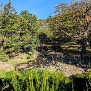
Arroyo partido
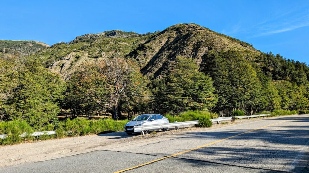
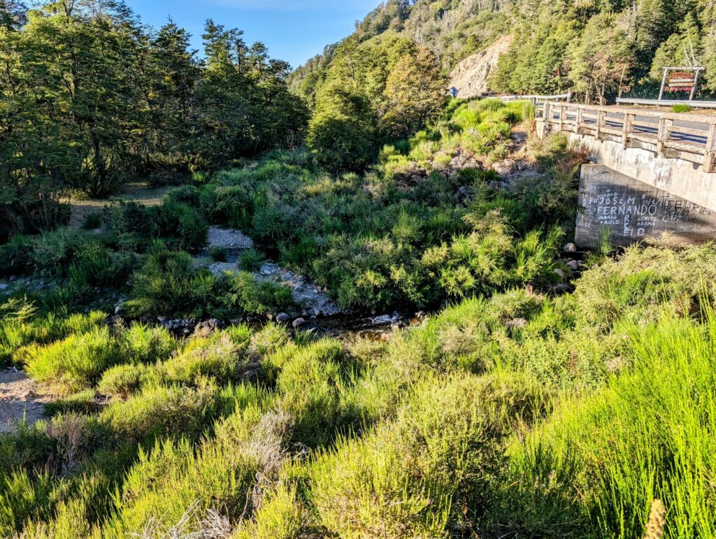
Tip for this stop: Google Maps did not direct us to the pull-out for the viewpoint. The correct location for the pull-out is on the right hand side (when going from Bariloche) right before Camping Arroyo Partido. The viewpoint however is on the other side of the road.
15
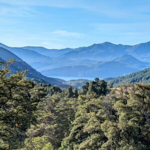
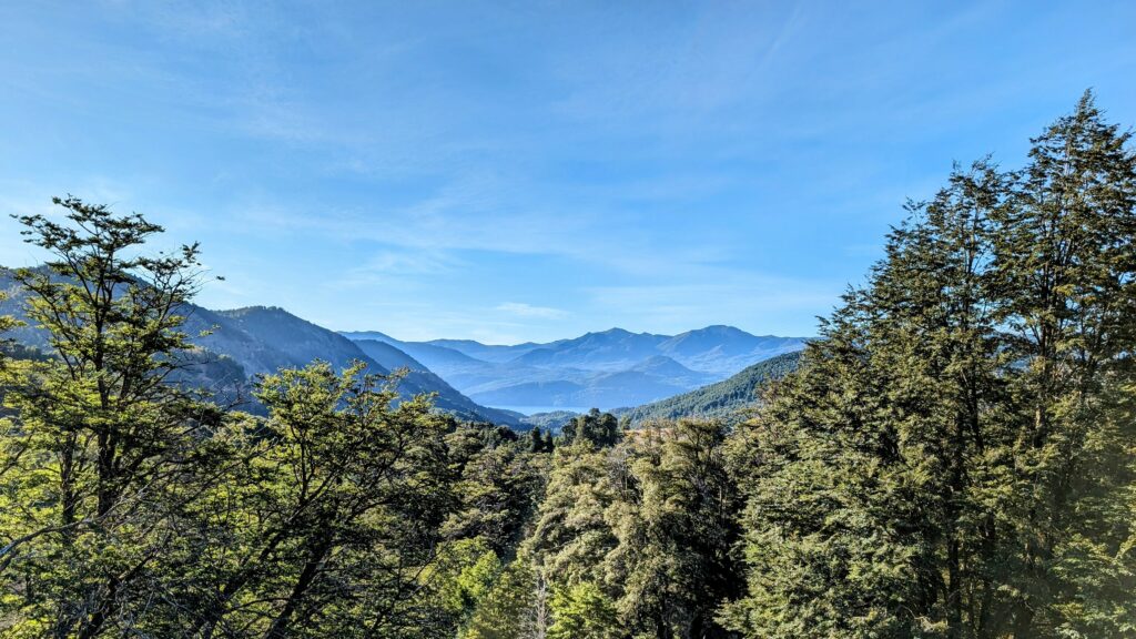
Mirador Pil Pil
16
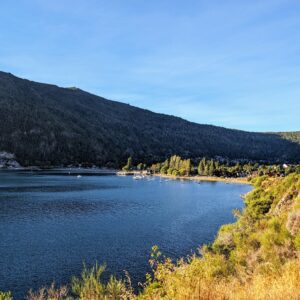
Mirador Lago Lacar - Lake 7
17
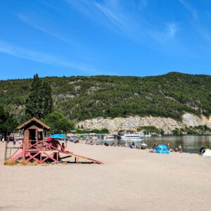
San Martin de los Andes
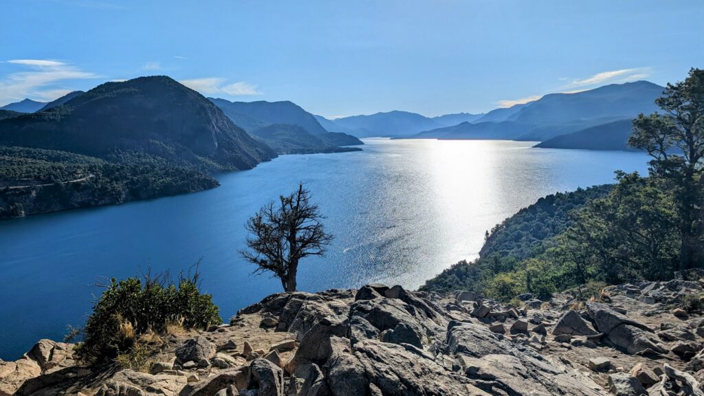
18
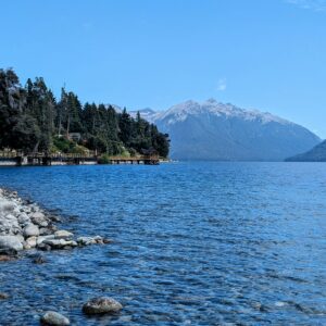
Villa Traful
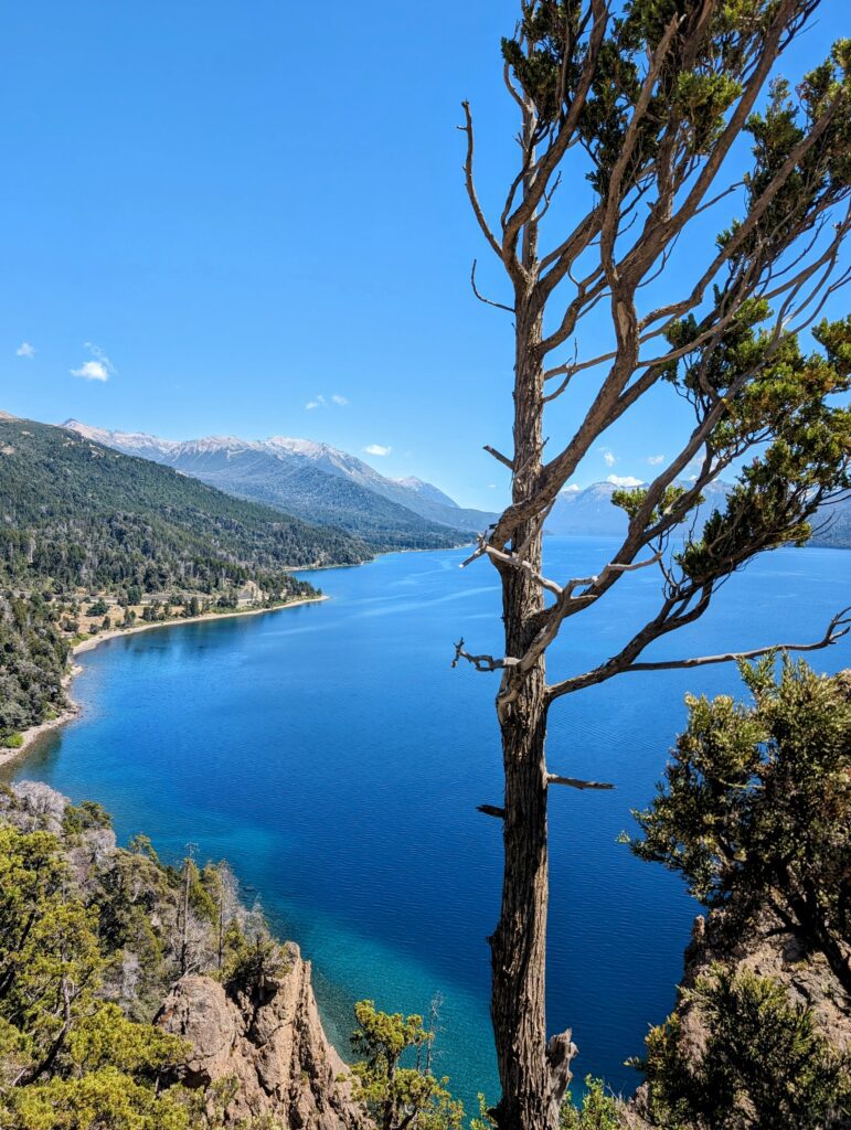
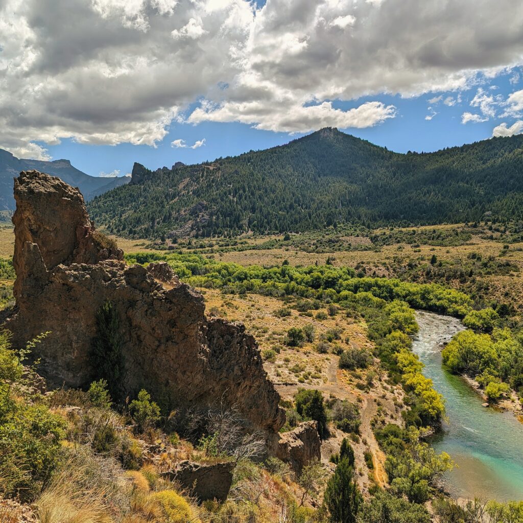
Instead of returning on the same route that we had taken to San Martin de los Andes, we decided to turn off Route 40 onto Route 65, a gravel road, towards Villa Traful. This small town is on Lake Traful and has great views of the lake. Further on this route, there is a viewpoint of the lake.
The other advantage of taking this route is the unique and different landscape you will find on the way back to Bariloche.
19
Confluencia
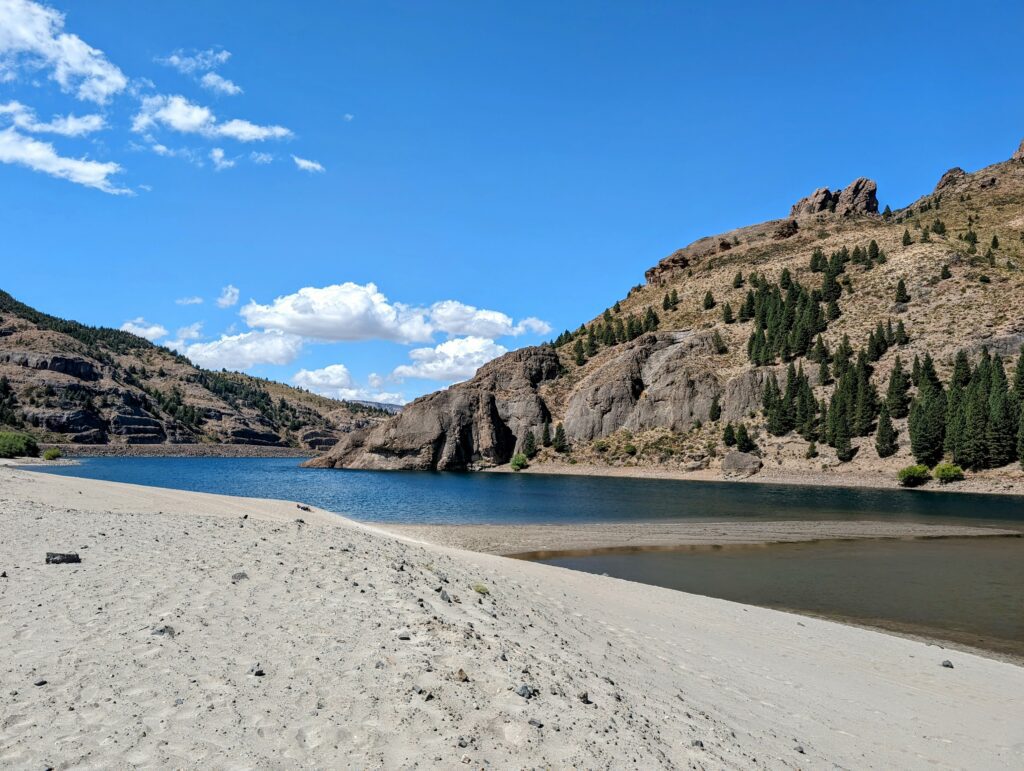
At the end of the gravel road is an area where two rivers come together and flow down to Lago Nahuel Huapi, the lake that Bariloche sits on. At this point, there are some food trucks to get a snack before continuing on to Bariloche
20
anfiteatro
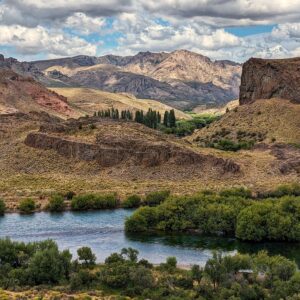
This final viewpoint before arriving into Bariloche was a nice culmination of the whole trip, with views of the mountains and river of the region.
