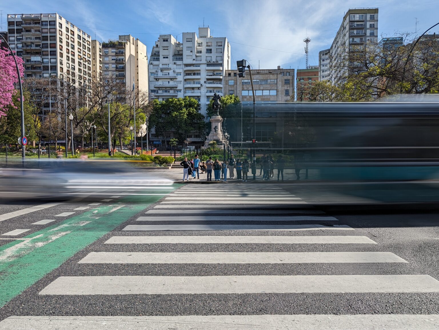
Through our time trying to navigate Buenos Aires, I have felt that getting around has been an organized chaos through an interconnected web. From getting from the airport to our short-term apartment to just trying to cross the street, there is some urban skill and a little luck required to get around the city. And honestly, Google maps is your best friend. We have been able to navigate Buenos Aires by walking or taking public transportation. This included getting from the airport. We are planning to use a taxi or Uber to return to the airport when we decide to leave but we wanted to show you the plethora of options that you have to explore.
Walking Around the City
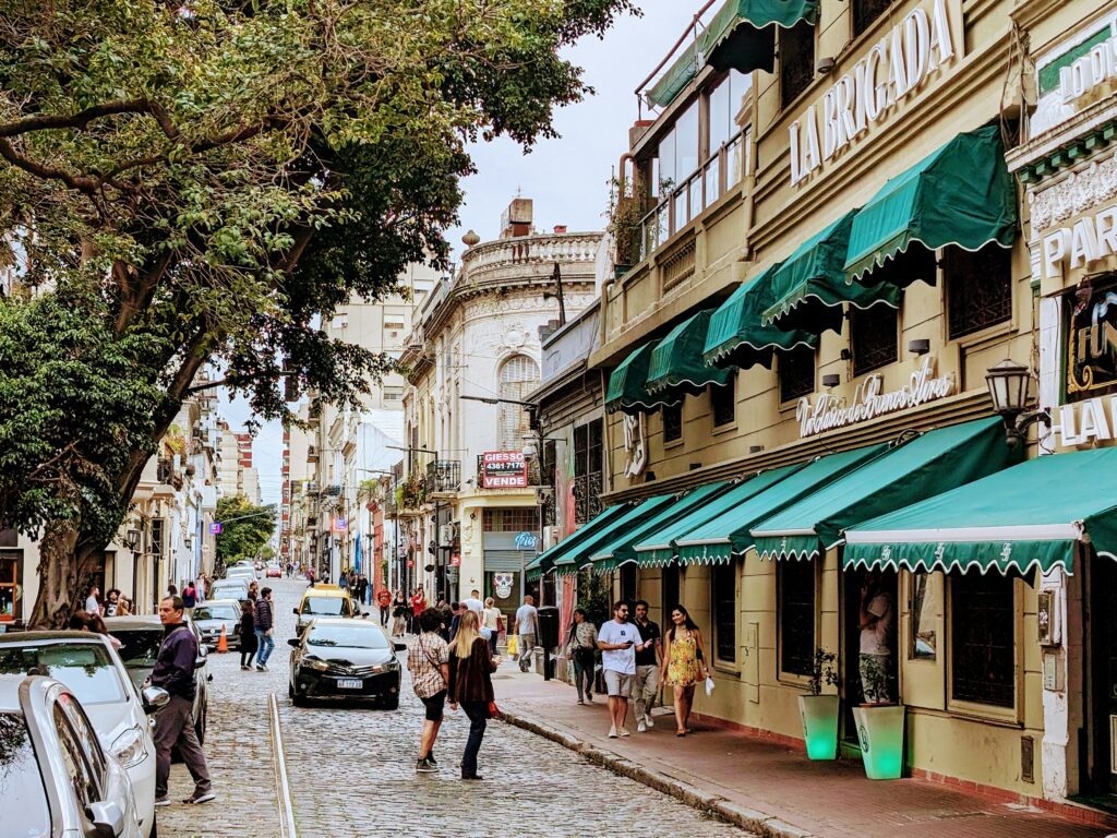
The city is large and sprawling and walking is truly only viable within a neighborhood or two. It is the best way to feel the energy of the city, see the shops and sights, and experience the city. However, consider other means of transportation when getting between neighborhoods.
When it comes to the hierarchy on the road, the buses are kings, the cars come next, then come the bikes, and finally there are the pedestrians. Do not expect any vehicles to yield for you to cross the street and make sure to look both ways on one-ways for any bikes. Cars and buses travel fast and brake hard, but it won’t be hard enough to save you, so make sure to keep your head on a swivel!
Another easy way to walk around the city and see the sites is through walking tours of different neighborhoods. You can read our experience with the ones in Buenos Aires here.
Using Public Transportation to Navigate Buenos Aires
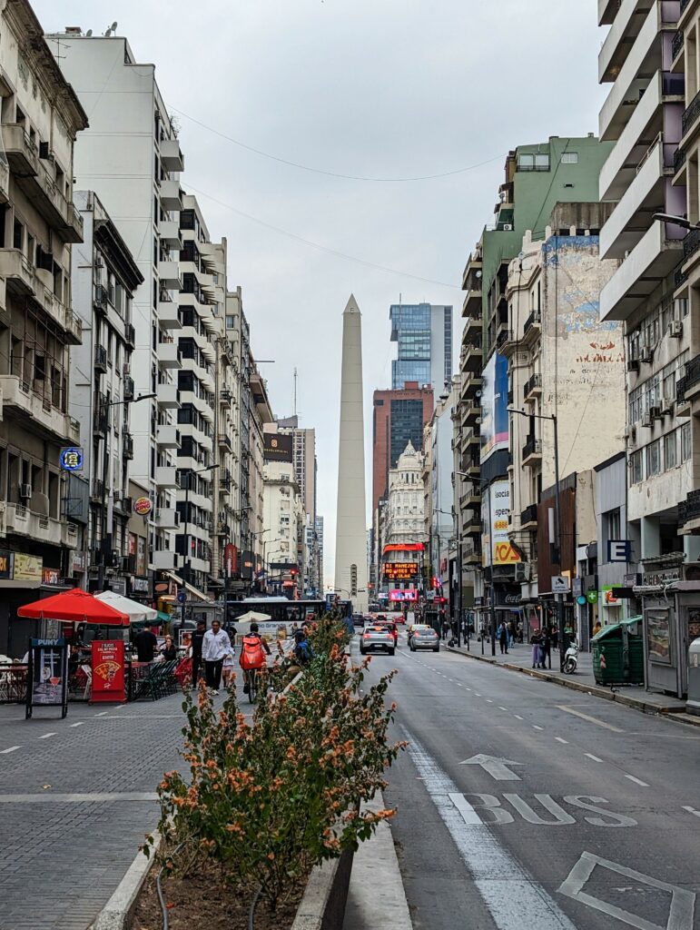
Public transportation is the most economical way to navigate large distances throughout the city. Buenos Aires is incredibly proud of the transportation system that they have built in the city. And rightly so! There are so many bus lines that you will most likely get from point A to point B with minimal walking and few transfers.
To use public transportation, you need to obtain a “Sube” card. Many short-term apartments provide the card for you but you can buy them at the airport, subway stations or different kiosks throughout the city (JEVI or Lottery Agencies for example). The card costs a flat fee but you don’t have to pay any additional fees to load money on the card. Overall, rides with the sube card will be a few cents!
We used a combination of the subway and buses to navigate Buenos Aires and even from the airport. When you first land, go to the tourist information desk after customs and they can explain to you how to get the Sube card within the airport and get into the city with ease.
El Subte (The Subway)
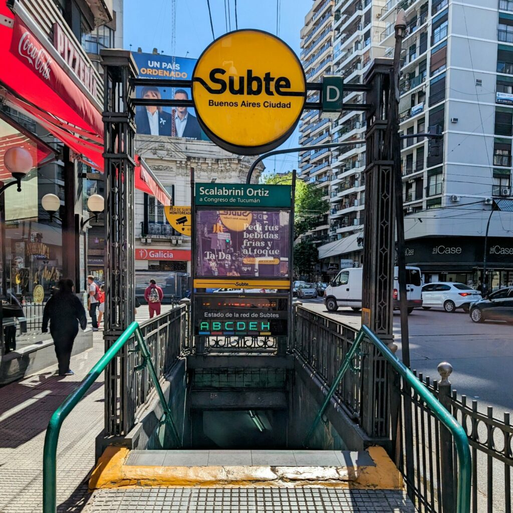
“El Subte” (the subway) is a fast and efficient way to navigate Buenos Aires but it does not have the most extensive network. If Google Maps shows the subway as an option to get between two places, use it!
Los Colectivos
The network of buses (Colectivos) is large. Chances are, there are a number of bus stops around your hotel or short-term apartments. Use Google Maps to determine the best route. The bus stops are indicated by a bench and overhang or a number on a pole. There are a couple of things you need to know to best use the colectivos:
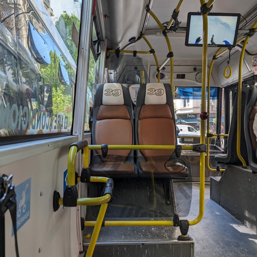
- People typically line up single file while waiting for the bus and put their arm out to wave down the bus as it comes by. If you don’t wave down the bus, they will just skip over your stop.
- Once the bus stops, get on the bus as quickly as possible because the bus driver will be itching to leave the stop. You will need to tell the bus driver where you are getting off so he can appropriately charge you and then you hold your card against the Sube card reader until it gives you the green light.
- Find your seat on the bus or stand to the side if the bus is full.
- To get off the bus, make your way towards the middle or back doors and press the button on the pole by the doors. The bus driver will not stop unless you press the button to indicate that you want to get off at the next stop.
This has been our favorite way to navigate Buenos Aires and if we can do it, you can do it!
Disclaimer: We have not used the following forms of transportation yet but wanted to share them for your use
Free Bikes! No Way!
You may see some orange bikes around the city. These are Ecobicis and are free to use for 30 minute increments 4 times a day. However, you will need to download the application (linked here) and create an account. You will need data to use the app to take out a bike. Many bike lanes in the city are protected from cars and the city is relatively flat.
Taking a Taxi to Navigate Buenos Aires
What About Ubers?
While the city does have some Ubers, you may have to wait before getting one. This is the most expensive way to navigate Buenos Aires (from this list) but it will not break the bank. It is also secure if you are nervous about getting from place to place.

